Indo Islamic Heritage


To reach Fort São Bartolomeu on Chorão Island, the nearest railway station is Karmali (KRMI), about 7 km from Panaji, while Vasco da Gama (VSG) is around 50 km away but connects to major trains. Since there’s no direct road to the island, visitors must take a ferry from the Ribandar jetty, located about 3 km from Panaji. Ferries operate frequently from 6 AM to 1–2 AM and are free for pedestrians, with a small fee for vehicles. The nearest airport is Dabolim International Airport, approximately 35 km away, with taxi or rental car options to Panaji taking about an hour. The closest major bus stop is the Kadamba Bus Stand in Panaji, which connects to various parts of Goa.
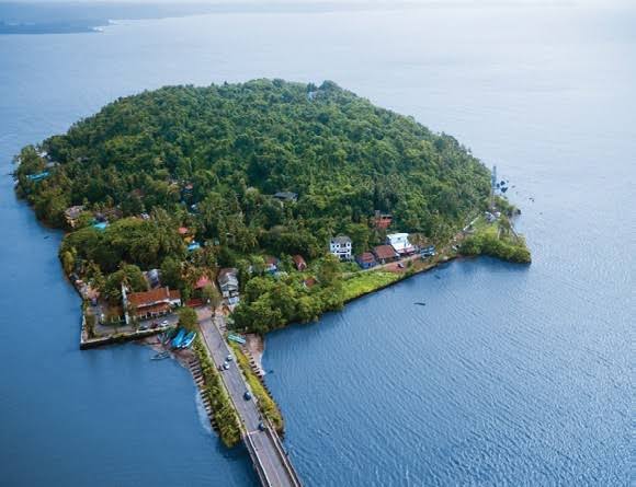
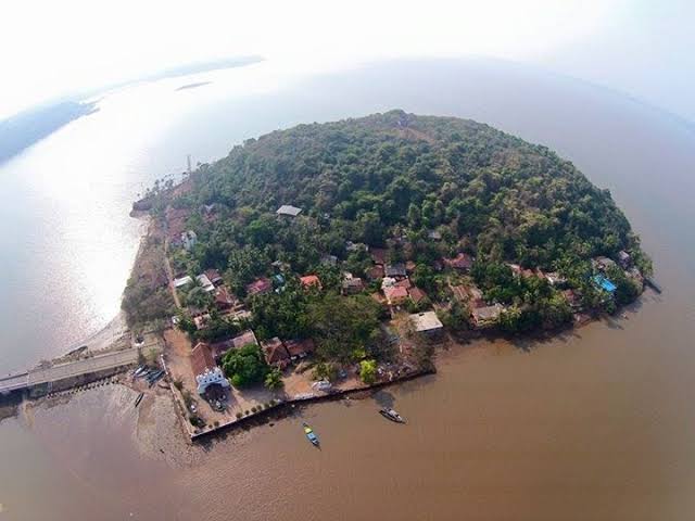
Fort São Bartolomeu, located on the northeastern tip of Chorão Island in Goa, embodies a layered history that stretches back into Goa’s Muslim rule before Portuguese domination. Originally constructed under either the Bahmani Sultanate or the Bijapur (Adil Shahi) dynasty, the fortress was later seized and renamed by the Portuguese following their conquest of Goa in 1510 . In 1720, the Portuguese demolished the earlier fort and erected a new stone stronghold—Fortaleza de São Bartolomeu—specifically to guard the strategic fording point between Chorão, Calvim, and Penelem islands. The fort was equipped with eleven cannons and formed part of a defensive network that included nearby forts like those at Divar (São Bartolomeu Fort on Divar) . By 1811, it had fallen into ruin and was abandoned, leaving behind the partially standing walls and bastions visible today . Its vestiges—weathered laterite stones overlooking the Mandovi River—serve as silent witnesses to Goa’s transitions from Sultanate to colonial Portuguese rule, offering visitors both a historical vantage and panoramic views of the estuary.
Year of Built: 15th - 16th Century
Address: Fortaleza de São Bartolomeu, Chorão Island, Chorao, Goa 403102, India
Country: India
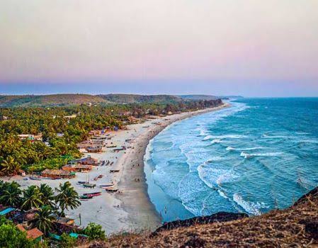
State: Goa
District: North Goa
Pincode: 403102
Longitude: 73.81° E
Latitude: 15.53° N